
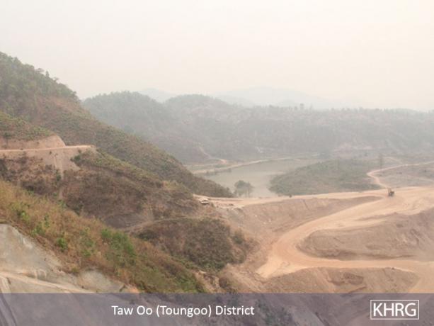
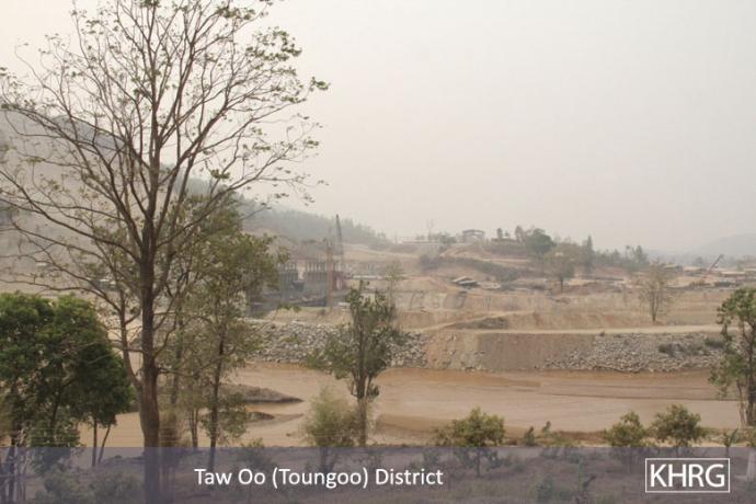
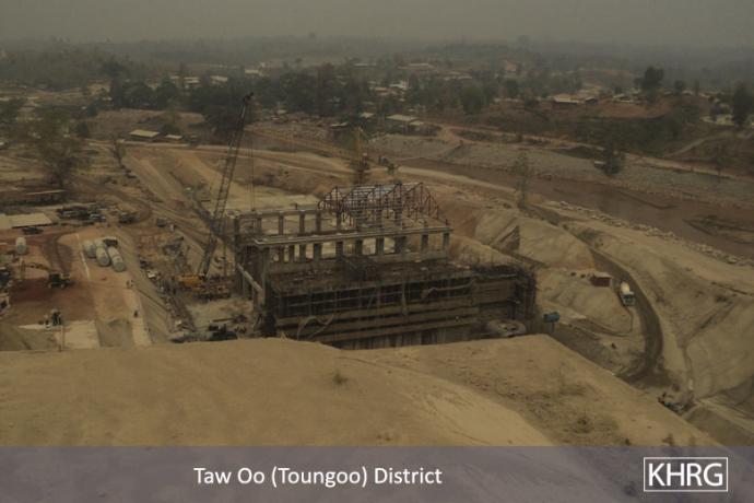
This photo was taken in March 2012, and shows the Day Loh River Valley in Tantabin Township, Toungoo District where the dam is being constructed.[3] Vechicle access roads in the vicinity of the dam site and large swathes of deforested land are also clearly visible. [Photo: KHRG]
 ,
, 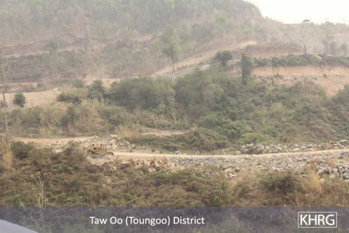
The above left photo shows vehicle roads approaching the Toh Boh Dam construction site, while the photo above right shows a bulldozer on another road. While 100 households were relocated from the dam site itself, road-building in the surrounding area has the potential to destroy or limit villagers' access to additional cultivable land. [Photos: KHRG]
 ,
, 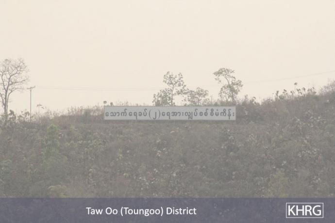
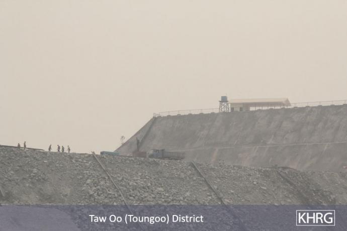
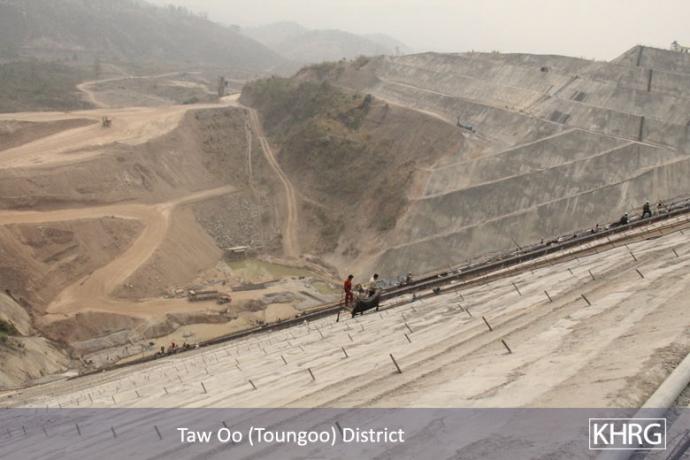
The above left photo shows people and vehicles on top of the Toh Boh Dam under construction. In the above right photo, a sign in black reads: "Thauk Yay Khat (2) hydropower electricity project." [Photos: KHRG]
 ,
, 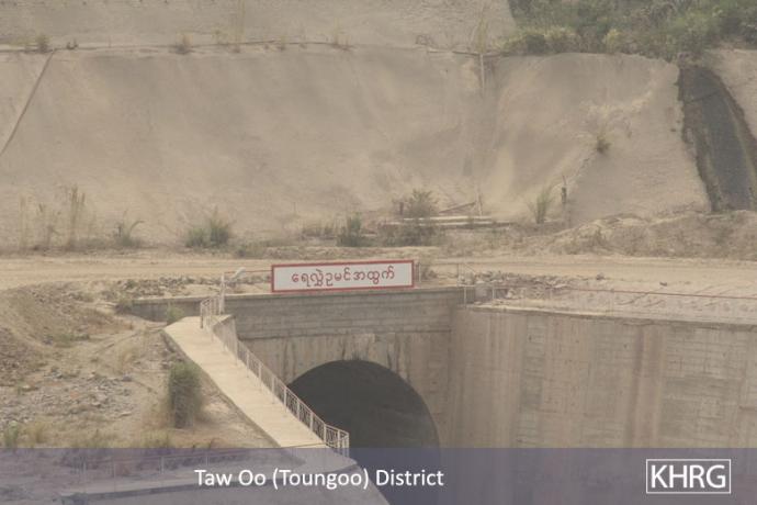
The photos above show electricity pylons on a different side view of the Toh Boh Dam under construction. In the above right photo, the sign in red reads: "Tunnel for diverting water out." [4][Photos: KHRG]
 ,
, 
The two photos above show housing areas for construction workers near the Toh Boh Dam construction site. [Photos: KHRG]
 ,
, 
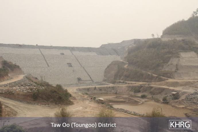
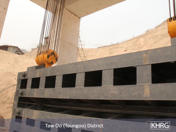
The first photo shows the steel door that will control the water flow from the Day Loh River. The second photo shows the spillway control section, designed to regulate the amount of water flow; when the water reaches a certain elevation, the spillway control section will reduce the amount of water flow from the upper dam. According to the community member who took these photos, the surrounding agricultural land belongs to villagers from 10 villages, which includes durian, mangosteen, cardamom and betelnut [5] plantations, all of which would be flooded if the dam becomes operational.[6] [Photos: KHRG]
 ,
, 
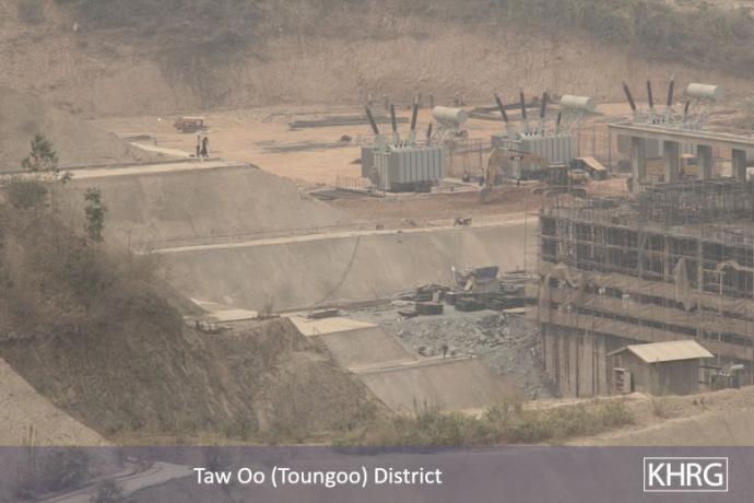
The photos above show two different views of the powerhouse that will produce electricity from the dam. The yellow pipe beneath the powerhouse allows water to enter and connect to the machine that produces hydropower. [Photos: KHRG]
 ,
,  ,
,  ,
, 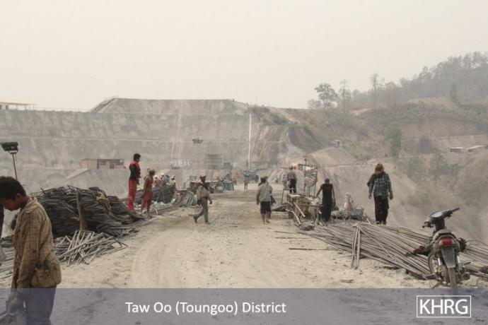
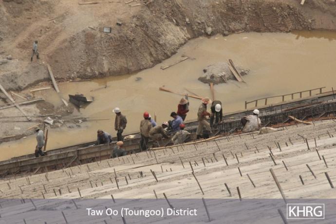
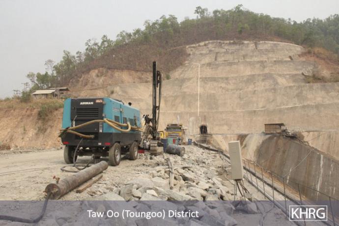
The photos above were taken in March 2012 in the Day Loh River Valley. The photos show construction workers building cement terraces, reinforced with bamboo poles, which together will contain the water once the dam becomes operational. In the background, features characteristic of excavation for unknown purposes are present.[7] [Photos: KHRG]